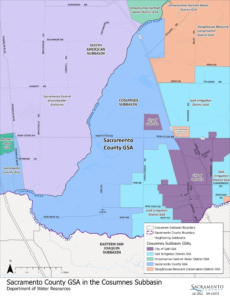
Watershed Overview:
The Cosumnes River Watershed encompasses over 600,000 acres (approximately 900 square miles) and contains over 2,000 linear miles of natural waterways. The watershed includes portions of Sacramento, El Dorado, and Amador counties. Elevations range from a peak of 7,500 feet in the Sierra Nevada Mountains in Amador County to slightly below sea level where the Cosumnes River terminates at its confluence with the Mokelumne River in Sacramento County, just before flowing into the Sacramento–San Joaquin Delta.

Several tributaries drain the lower Cosumnes River watershed, including Deer Creek, Badger Creek, and Laguna Creek. The Cosumnes River is the only large river flowing westward out of the Sierra Nevada Mountains into the California Central Valley with relatively natural and unregulated stream flows. The flows vary from higher, winter or spring flood flows, to reduced or intermittent summer flows. In the lower reaches of the Cosumnes River, i.e., below Rancho Murieta, California, there are often no flows during the summer months. In the lowest reach of the Cosumnes River, from just south of Twin Cities Road, near Galt, California, to the Mokelumne River, near Interstate 5 and the Sacramento-San Joaquin County line, the Cosumnes River is wet year round due to tidally influenced waters moving in and out of the Sacramento-San Joaquin Delta.

