Background
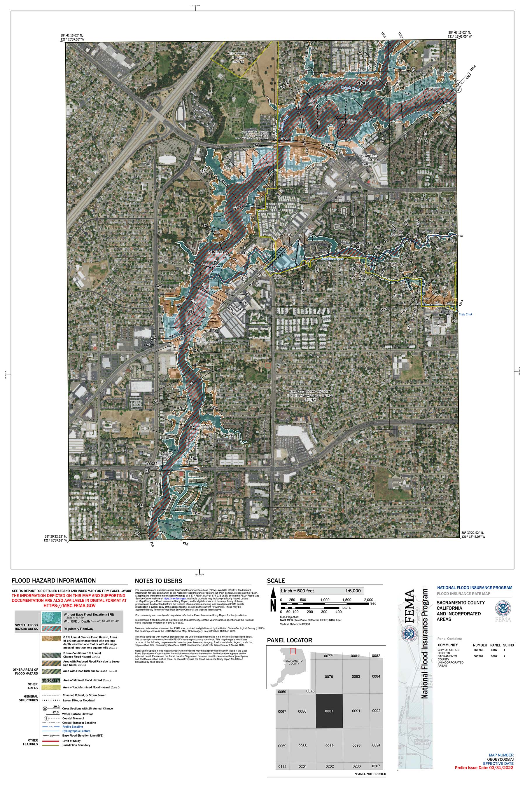
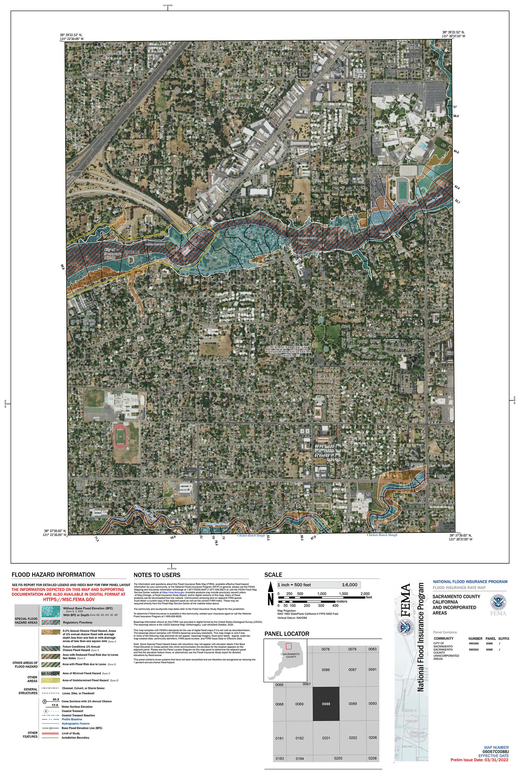
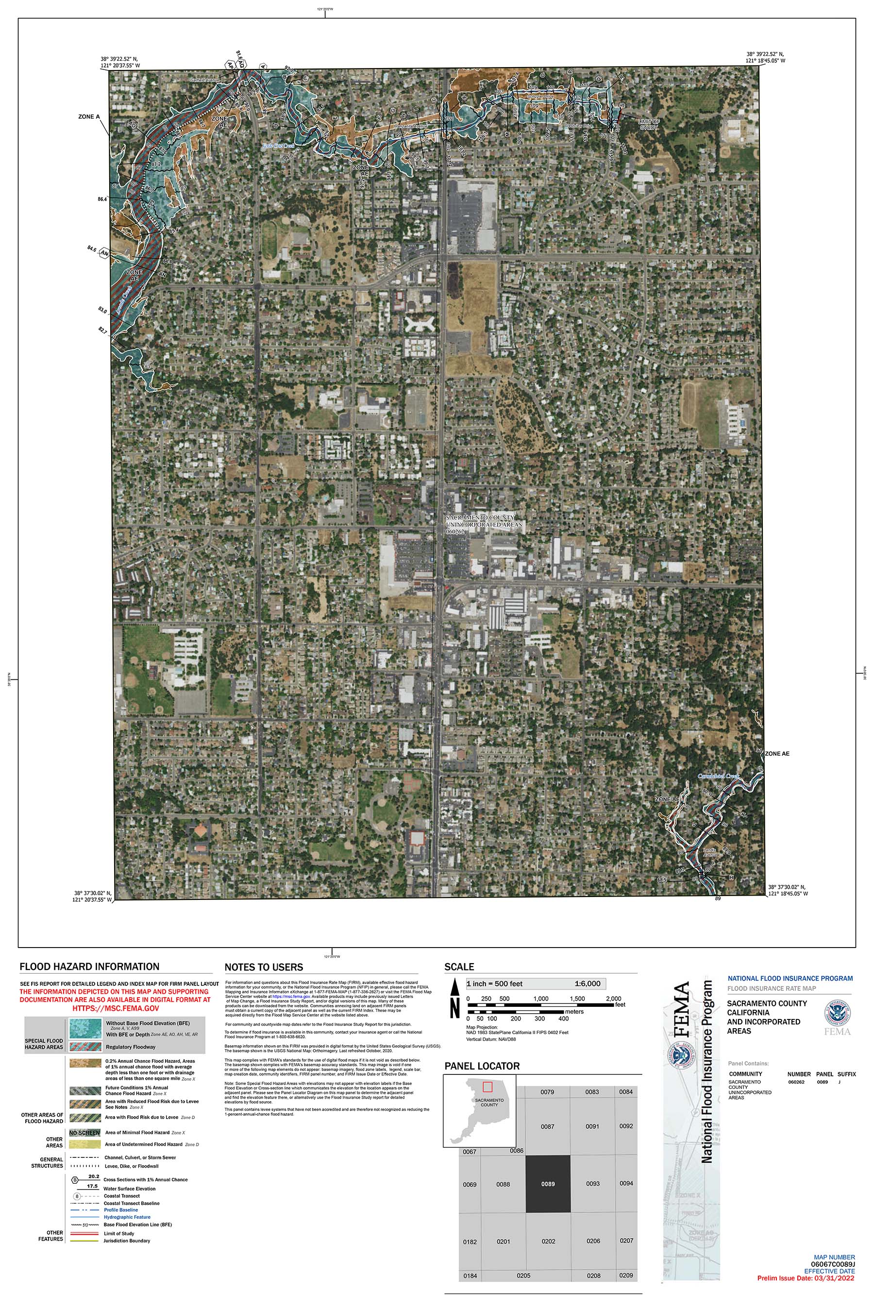
The Federal Emergency Management Agency (FEMA) has revised the Flood Insurance Rate Maps (FIRMs) and Flood Insurance Study (FIS) for Arcade Creek in Sacramento County effective February 22, 2024. The revision enlarged the Special Flood Hazard Area floodplain and increased the 100-year flood elevations by up to 2 feet. Many properties were added to the floodplain for the first time and property owners may be required to obtain flood insurance by their mortgage companies. The 100-year flood elevations may increase for properties already in the floodplain and these properties may see the cost of flood insurance go up. To determine if your property is in the revised effective FEMA floodplain visit the Map Service Center at msc.fema.gov and enter your address.
The National Flood Insurance Program (NFIP) provides flood insurance to property owners and renters and is available to anyone in Sacramento County. Sacramento County participates in the FEMA Community Rating System Program which earns property owners in the Unincorporated County a 40% discount on flood insurance due the County's well-regarded floodplain management practices. Additionally the NFIP offers a Newly Mapped discount on flood insurance for buildings located in a Special Flood Hazard Area following a flood map update. Premiums then increase gradually until reaching the full risk premium. You are eligible for this discount if flood insurance is renewed or purchased within 12 months after the map update. Contact your insurance provider to learn more about flood insurance options or go to floodsmart.gov.
The revised FIRM Panels for the areas within the Unincorporated Sacramento County are provided in the links below.
Panel 0087J

Panel 0088J

Panel 0089J

Contact:
Kevin Siu
siuk@saccounty.gov
(916) 874-2983
