2006: Most recently, the 2005/2006 event earned the name “New Year’s Eve Storm” because it soaked the region and caused widespread, localized flooding during the first days on New Year’s Eve 2005 through the first few days of 2006. And although this flood event was not of the magnitude of those in the past, it did cause residents to be vigilant and question their individual storm readiness.
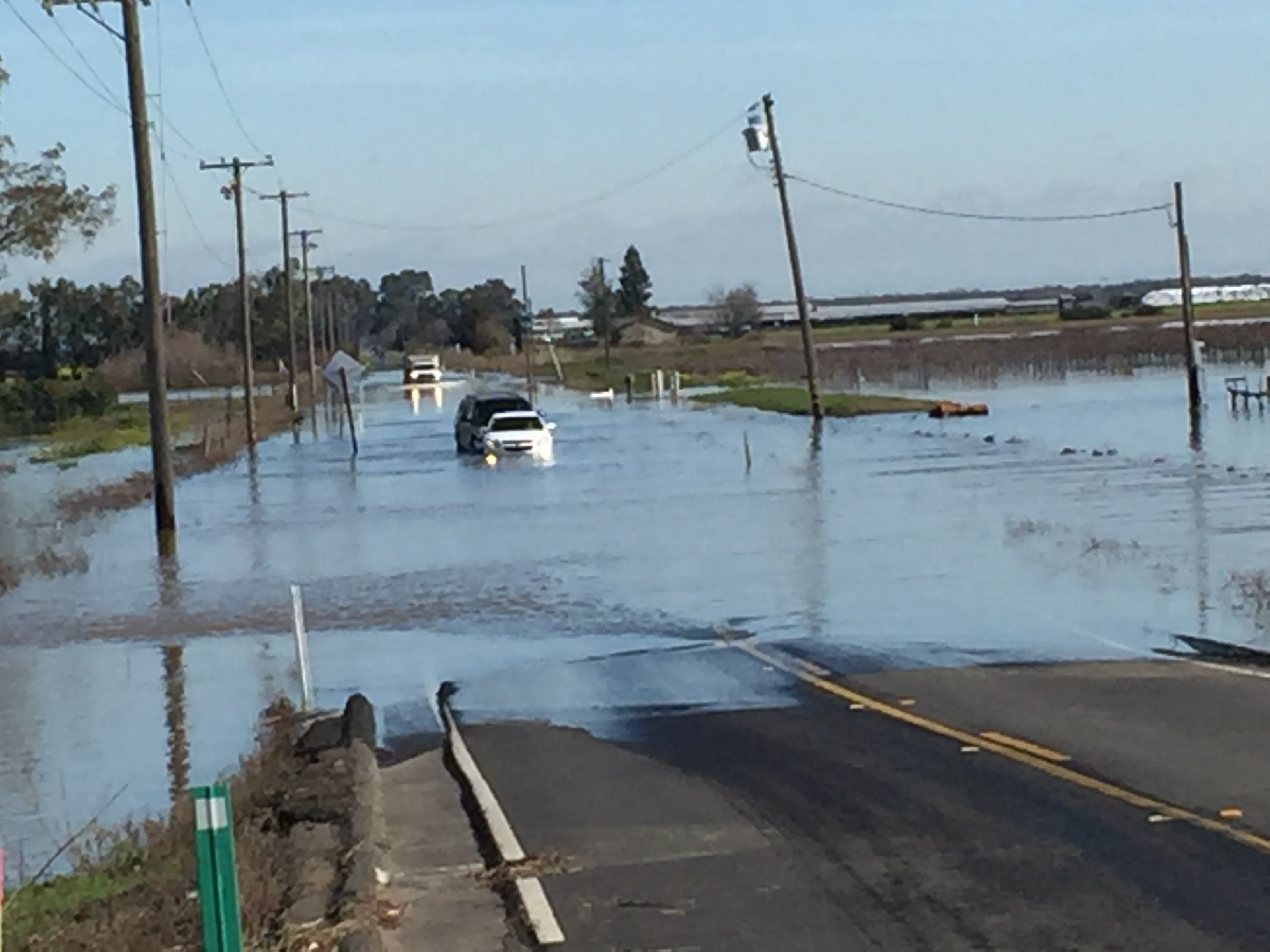
 2017: Sacramento County was impacted by a series of Atmospheric Rivers and storm systems starting January 3, 2017 through January 24, 2017. Water from storm systems, king tides, releases, and runoff into the watershed impacted several areas of Sacramento County, specifically: Rio Linda, Point Pleasant, Glanville tract, Wilton and the southern portions of the County.
More than 370 square miles of Sacramento County is within the 100 Year Floodplain and, in addition, many areas within the County have local flood hazard areas. These floodplain maps are available directly from FEMA at the FEMA Map Service website or Sacramento County Online GIS Map Viewer. The public can also view these FEMA maps at the Sacramento County Department of Water Resources office at 827 7th Street, Sacramento CA 95814, Room 102, (916) 874-6851.
